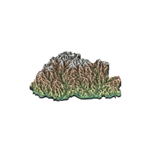
Bhutan physical relief map
- Social Science
- Classes 6–12
- 3D model
- English
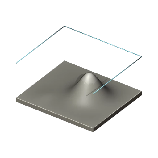
Bhutan physical relief map: a 3D model for Class 6–12 Social Science, covering southern foothills, deep parallel valleys, high northern mountain divide, elevation colour bands, country-shaped terrain base.
Checking model access…
The 3D viewer and AR open with a free Lably account.
Topics
About this model
A GLB file of about 698 KB, shown in Lably's 3D viewer and, on a phone, placed in your room with AR. Credit: Physical relief adapted from NOAA ETOPO 2022 elevations and public-domain Natural Earth outlines; Lably educational rendering. Source samples and preparation notes are supplied.