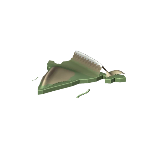
Physical relief map of India
- Social Science
- Class 7
- 3D model
- English
Physical relief map of India: a 3D model for Class 7 Social Science, covering Himalayan belt, Northern plains, Peninsular plateau, Coastal plains, Islands.
The 3D viewer and AR open with a free Lably account.
Topics
About this model
A GLB file of about 223 KB, shown in Lably's 3D viewer and, on a phone, placed in your room with AR. Credit: Original static educational geometry authored for Lably.