

Apurímac River
River in Peru
- 1 min read
- 1 chapters

Related on Lably
Through Glacier
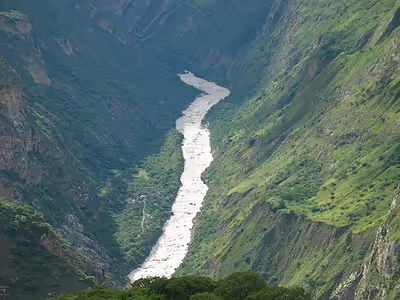
After 730 kilometres (450 mi), the Apurímac joins the Mantaro River and becomes the Ene River, 440 m (1,440 ft) above sea level; then after joining the Perené River at 330 m (1,080 ft) above sea level, it becomes the Tambo River; when it joins the Urubamba at 280 m (920 ft) above sea level the river becomes the Ucayali, which is the main headstream of the Amazon. Sometimes the complete river from its source to its junction with the Ucayali, including the rivers Ene and Tambo, is called "Apurímac", with a total length of 1,070 km (660 mi).
In the 13th century, the Inca constructed a bridge over this river which gave them access to the west. Erected around 1350, the bridge was still in use in 1864, and dilapidated but still hanging in 1890. It was the basis for the titular bridge in Thornton Wilder's 1927 novel The Bridge of San Luis Rey. One such bridge, Queshuachaca, is reassembled on an annual basis.