


Explore on Lably
ToursExplore Lably’s 3D toursGeography
Cape Morris Jesup is the northernmost point of mainland Greenland, the northernmost point of any mainland, and the northernmost land point on Earth except for the small island of Kaffeklubben (and perhaps some other formations which may be islands or may just be temporary gravel banks).
The cape is 712 kilometres (442 mi) from the geographic North Pole. It is located in Johannes V. Jensen Land, about 20 km (12 mi) east of the mouth of Sands Fjord and west of Constable Bay. The cape marks the limit between the Lincoln Sea to the west and the Wandel Sea to the east. About 5 km (3.1 mi) southeast of the cape there is a river forming a small delta that flows from the Mary Peary Peaks, part of the Roosevelt Range to the south.
Climate
Sign in to keep reading
2 more chapters are free with a Lably account.
History
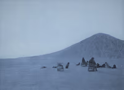
Robert Peary reached the cape on 13 May 1900, believing it to be the northernmost point of land in the world, although it was later found to lie slightly to the south of the northernmost tip of Kaffeklubben Island. The cape is named after American philanthropist Morris Ketchum Jesup, president of the Peary Arctic Club, who helped finance Peary's expeditions.
Plants
Specimens of Arctic poppy and purple saxifrage have been found growing in the thin, rocky soil. Cape Morris Jesup is practically a polar desert with roughly 30-day summers. Despite these extremely inhospitable conditions, these two tiny flowering plants eke out a meager existence and persist blooming through summer lows near freezing temperatures.