


Related on Lably
Through Cairo
Overview
Despite the governorate being one of the top destinations for tourists in Egypt, the poverty rate is more than 60% in this governorate but recently some social safety networks have been provided in the form of financial assistance and job opportunities. The funding has been coordinated by the country's Ministry of Finance and with assistance from international organizations.
Sign in to keep reading
5 more chapters are free with a Lably account.
Municipal divisions
The governorate is divided into the following municipal divisions with a total estimated population as of January 2023 of 1,388,666. In some instances, there is a markaz and a kism with the same name.
Emblem
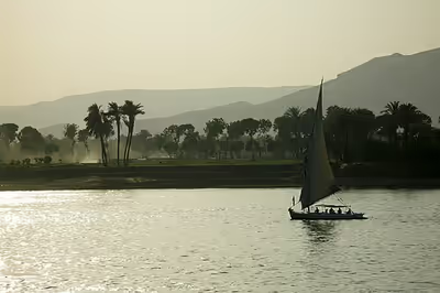
The emblem of Luxor represents the bust of Tutankhamun on board an Ancient Egyptian canoe boat, cruising in the Nile, with an obelisk and the sunlight in the background.
Geography
The governorate's total area is 2,960 km2, representing 0.24% of the country's area.
Population
At the 2012 census, the population of the area which in 2024 was formed into the new Luxor Governorate was 1,429,281 people. 47.4% of them lived in urban areas, while 52.6% lived in rural areas. The annual population growth rate is 18.2 per thousand.
Industrial zones
According to the Governing Authority for Investment and Free Zones (GAFI), the following industrial zones are located in Luxor: